The drowned landscapes off Croatia
I visited Croatia a number of years ago after diving on some
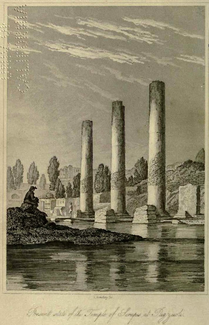
of the submerged Roman sites in Greece and seeing the Temple of Serapis in
Naples (https://upload.wikimedia.org/wikipedia/commons/9/9e/Charles_Lyell_-_Pillars_of_Pozzuoli.jpg)
. The temple is geologically infamous as the front piece to Charles Lyell’s
seminal work The Principals of Geology where he notes the mark of marine
boring organisms at some height up the columns thus indicating that they were
once submerged. He correctly interprets
this as representing tectonic movements that have caused both a submergence and
subsequent re-emergence of the temple since its construction in the late first
to early second century AD. Contemplating the potential for drowned landscape
reconstructions around the Mediterranean and Adriatic seas I briefly looked for
papers describing sea level changes.
These were almost entirely absent from the academic literature. Fast-forward to 2023 and I am here on the
invite of Dr Simon Fitch (Bradford University) as part of his Future Leaders
project. The idea is to map paleo-landscape surfaces in the many rias (drowned
river valleys) along the Adriatic eastern shore.
 |
| Split, Croatia |
 |
| Innomar Quatro with Novatel dual antenna motion reference unit |
Over the course of 5 days we surveyed a number of small bays, outlets to the main large bays, channel crossings and both large and small deltas.
The weather cooperated for the most part until the Bora winds (a sever katabatic northerly wind from the shore) stopped play on our last day. The survey exceeded our expectations with penetration to greater than 15m sub-bottom in water depths up to 70m deep. The seismic reflectors and character demonstrated sequences that could be interpreted as eroded bedrock, basin sediment infill, channel cuts, deltaic progression with periods of both regression and transgression.
 |
| Channel entrance to the old harbour of Split |
The potential for mapping multiple palaeo-landscapes and associated environments is huge. We now need a program to accomplish this that has ground truth from coring and careful modelling. The project has only just begun so here is looking forward to returning and working with a great team.
No comments:
Post a Comment